
Software for cave survey and 3D documentation.

Supports
  • Windows
  • macOS
  • Linux

Extract deliberate photogrammetry frames, move through massive spatial datasets, and keep open survey infrastructure alive.

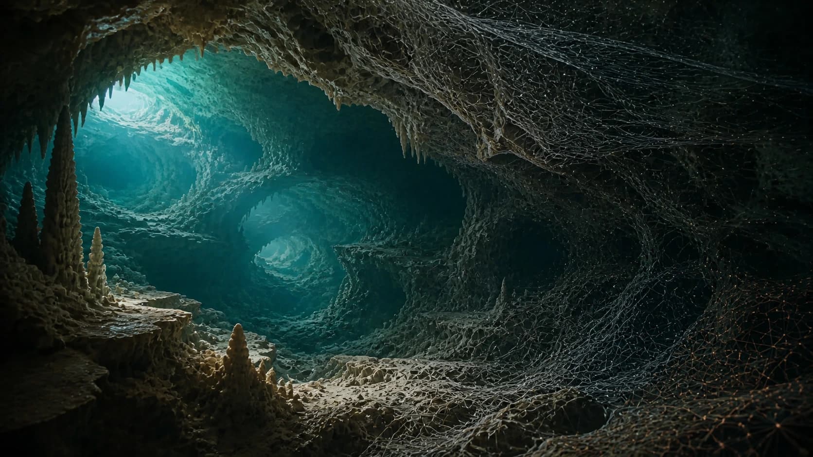
A sidemount cave diver illuminating a submerged cave as its rock surface transitions into a measured digital mesh
Concept artworkField observation becoming spatial evidence

From field recording to a record that lasts.

OpenSpeleo covers the work that happens before reconstruction, after processing, and long after a survey changes hands.

  1. 01

    Prepare

    Turn source video into a deliberate, efficient image sequence.

  2. 02

    Inspect

    Navigate, measure, and communicate datasets at their full scale.

  3. 03

    Preserve

    Keep survey history recoverable, attributable, and available.

Built for cave data at every stage.

Prepare better image sets, inspect massive 3D datasets, and keep survey history safe in one connected toolset.

01Capture preparation
Included in the annual license

FrameForge

Turn video into deliberate photogrammetry inputs.

Extract only the frames a reconstruction needs, with precise control over sampling rates across the timeline.

Explore FrameForge
Core capabilities
  • Segment-based extraction

    Set a different frames-per-second value for every selected timeline range.

  • Focused timeline review

    Use video-editor-style controls designed specifically for identifying useful extraction ranges.

  • Accelerated playback

    Use hardware-accelerated FFmpeg decoding where the operating system supports it.

02Large-scale 3D inspection
Included in the annual license

TitanMesh

Move through models too large for ordinary viewers.

Open, navigate, inspect, and measure multi-gigabyte meshes and point clouds at interactive frame rates.

Explore TitanMesh
Core capabilities
  • Load

    Open OBJ, STL, PLY, and GLB / glTF 2.0 files, including triangle meshes and point-cloud datasets.

  • Navigate

    Use WASD flight, FPS-style mouse look, orbit controls, zoom, and drag-and-drop loading.

  • Measure

    Place multiple calibrated measurement tapes and work in metric or imperial units.

03Open-Source survey infrastructure
Free and open source

SpeleoDB

Version, protect, and collaborate on cave survey data.

A free, open-source platform that brings recoverable history, deliberate permissions, and accountable collaboration to cave survey records.

Core capabilities
  • Version history

    Maintain Git-backed version history for survey files, project changes, and contributor revisions.

  • Team survey collaboration

    Coordinate survey teams in the field and sync their contributions through the SpeleoDB mobile app.

  • Direct GIS integration

    Connect cave survey data directly to ArcGIS, QGIS, and other GIS workflows.

Nonprofit by design

License revenue goes back into the work.

USAH Institute is a 501(c)(3) nonprofit. Purchases fund the practical work required to keep specialized scientific software dependable and available.

Engineering
Development, testing, performance work, and maintained releases.
Operations
Security, infrastructure, documentation, and direct support.
Open access
Continued development of the free, open-source SpeleoDB platform.
How the program is funded
FrameForge + TitanMesh

One license. Choose how it renews.

Both desktop applications, one registered machine, and direct support included.

$75per year · renews automatically
$99one year · no automatic renewal
Compare licensing options